Cipières - Gréolières - walk - hike
We had a celebration on Saturday with the start of the six nations with Wales coming up trumps. So as it was a wet and cloudy Sunday and we had a late start, we thought we would try a short walk we had done in the past. We remembered it as a looking nice and short on the map but quite tiring to execute. It was not much different this time around, it is a bit of a roller coaster walk - you are either descending or climbing.
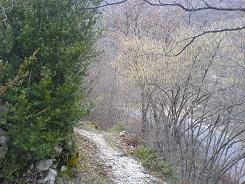
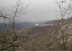
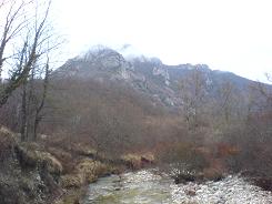
The walk is 6km in length with a 540m climb, starts in Cipières you follow the GR4 to Gréolières then follow a local path back to Cipières. It is a skip between two villages and the valley is reasonably well habited but the walk winds itself through the very attractive valley of the Loup River. The GR4 is very well marked out as you would expect, leave the village via the town wall up past the church. The path starts on the right and drops into the valley - follow the red and white GR splashes you pass the town wash house and a spring. You cross a road twice, look right each time for the continuation of the walk. When you come to the valley floor and the river bank turn left and make for the old bridge. From there the path snakes through some houses and then stays in the trees and on up into the village of Gréolières.
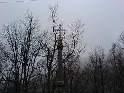
Go through the village keep to the right past the wash house and the Post Office, the path branches off on a side lane to the right and there is a sign marking the route. The lane opens out into a common, there is a ruined church look to the right there is a stone cross, the path continues from there. Some times the local walks are not so well maintained as the GRs but it this case the walk has been recently re-marked and is very easy to follow the yellow splashes. On the way down the hill from Gréolières you cross two roads look to the left each time. As you reach the valley floor there is signpost 173 take a right to a bridge and cross the river.
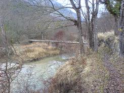
After that you are on an ancient stone track winding up the valley side through the trees to Cipières.
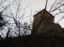
A note about the two villages, Cipières is a beautiful little village on a quiet through road to Gréolières. A large rectangular building dominates the village (which has now been renovated into a hotel) and gives the village a very distinctive outline. Gréolières' current position is 200m or so from the site of the original village which was deserted with the arrival of the plague. The ruins of the original village still exist in part but when the villagers returned they swore not to live on the same site and rebuilt the village on its current site.
Flat distance 6236.19 m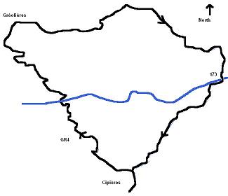
Total height ascended 541 m
Actual distance 6369.51 m
Total height descended 537 m
Maximum height 837 m
Trail : Waypoints
25 East: 32:335430.03 North: 32:4849894.87 Height: 757 m
171 East: 32:334971.07 North: 32:4850370.77 Height: 614 m
29 East: 32:334650.32 North: 32:4851194.29 Height: 831 m
172 East: 32:335515.67 North: 32:4851267.34 Height : 735 m
173 East: 32:336255.54 North: 32:4850627.92 Height: 560 m
24 East: 32:335580.44 North: 32:4849984.37 Height: 746 m
Co-ordinates system : UTM (Zones 30,31,32), WGS84
