Sospel - Mont Agaisen - walk - hike
This walk takes you on a circuit of Mont Agasin starting at Sospel. It is a straight forward walk on wide GR paths a Grade 1 of 8.5 km with a 580m climb. Sospel is a very attractive town at the confluence of the Bévéra and the Merlanson rivers. It was historically a staging post on the "Salt road" and the old Royal Road between Turino and Nice.
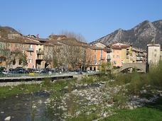
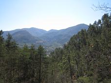
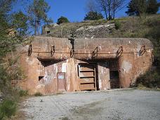
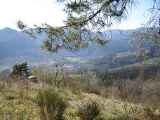
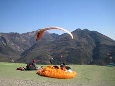
The quickest way there from the coast is along the A8 Auto route and up from Menton on the D2566. There is a longer route over the Col de Braus from Nice via the Paillon - worth the trip if you want to see some spectacular vistas. Either way, cross the road bridge on the Bévéra and there is a car park on the left. The walk takes you up and around Mont Agasin which like many of the peaks around the village formed part of the Maginot Line with concrete bunkers and fortifications. Today it is a popular spot for Para gliders and they can often be seen circling the peak. The walk has 3 parts, the GR52 on the way up, a quick hike to the summit and finally the GR52A on the way down. Start at the car park and follow the road on the left away from the river. Follow the sign post on the right showing the GR52, the path follows metallic roads climbing the hillside.
Take the next left and keep going up, the path only leaves the road at a hairpin bend, the GR52 goes straight on. Continue on the ascent for about 1.6 km on the well defined GR52 (Red and white markers). Eventually you come to a road at a "T" junction, take the middle line and follow it for a 100 m the walk continues on the right indicated by sign post 75. The path climbs and opens out into rough terrain you're looking for sign post 84. There is a bike trail you can follow to the same destination but it is not the path we need. The paths lead to sign post 83 which is at a junction for the route to the top, and the way down via the GR52A.
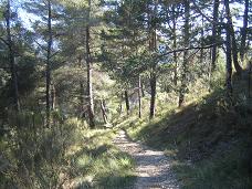
To get to the fortifications you can take a yellow marked trail in the trees or follow the road up, the GR52A is due east of your position. The GR52A contours through the trees and follows the side of the mountain to the south and then starts to descend. The path is easy to follow with the GR markers and you cross a road twice. The 1st go straight across the 2nd time follow the road on the right until you see the markers on the left hand side. This brings you onto a village road that has the local school on the right, on the left is a path that takes you down to the road that leads back to the car park.
Total height ascended 590 m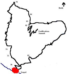
Actual distance 8.5 km
Maximum height 743 m
Trail : Waypoints
SP 72 East: 32:375284.34 North: 32:4859648.50 Height: 368 m
SP 73 East: 32:375095.80 North: 32:4859889.72 Height: 401 m
SP 74 East: 32:375080.53 North: 32:4860023.58 Height: 410 m
SP 84 East: 32:375527.21 North: 32:4861079.82 Height: 689 m
SP 83 East: 32:375629.58 North: 32:4860759.66 Height: 676 m
SP 82 East: 32:375602.92 North: 32:4860679.04 Height: 662 m
SP 81 East: 32:375584.17 North: 32:4859706.17 Height: 386 m
