Auribeau-sur-Siagne - walk - hike
This is a short walk just up the Siagne valley not far from Grasse and starts and ends in Auribeau-sur-Siagne. The walk is a grade one only ascending 364 m and 6.7 km, follows a country lane for part of the way then wide forest tracks. Auribeau-sur-Siagne is an attractive village guarding the river Siagne as it turns into the foothills of the Var. The most direct route is a back road from Mouans Sartoux via the penetrante but most will travel via Pegomas from the coast or Grasse. Drive up to the village and there is a car park on the left you can see the start of the walk from there.
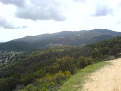
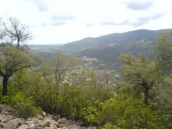
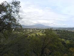
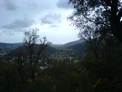
The path heads north and cuts out a loop in the road where it meets back with the road cross straight over onto the country lane it is sign posted. Follow the country lane up the hill, the road runs straight up the hill. There is a turning on the left at an Oratory but keep going on up. Nearing the last houses the roads has a few twists and turns and becomes a dirt road. Keep to the dirt road and there is a sign post take the left "Tour du Peygros".
The path levels out and takes you around the summit of Mnt Peygros follow it north and then west along the north face. There is split in a path turn left the path climbs, then further on there is a path that branches to the summit. On the path to the summit you pass a ruined building and at the summit there is a old fire observation platform. From there you have views of Auribeau and the sea. The descent begins from here, work your way back to the main path and turn left and follow it down the hill. This section eventually meets the GR51 again turn left again on the broad track and it heads east taking you back to the track then road back to Auribeau. This walk does not need any GPs co-ordinates but I have added them for consistency.
Total height ascended 364 m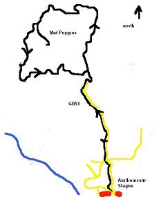
Actual distance 6717.76 m
Minimum height 38 m
Maximum height 293 m
